Ancillary Materials for Geography 347
Most course-related documents will be handed out in lecture or loaded onto Blackboard. Look in the 'Course Documents' folder.
Contour Maps - Practice maps for reading topographic contours. Hint: Low-lying 'Vs' point upstream while ridge-crest 'Vs' point downslope. Closed circles are hilltops.
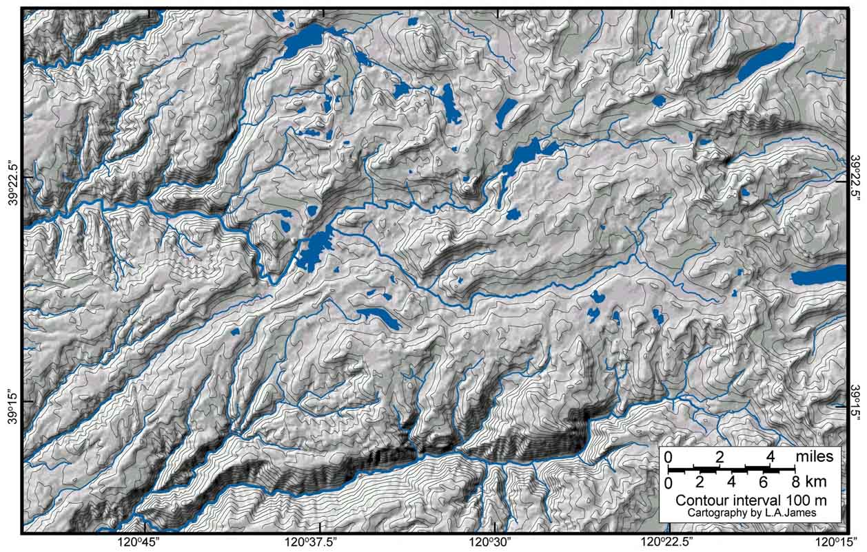
Contour map of NW Sierra Nevada, California, with shaded relief. The shading helps to visualize how contours depict elevations.
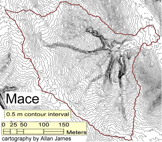
Macedonia Lake (small SC watershed). Note that contours are closely spaced in areas of steep slope.
Rocky Branch Watershed contour and shaded relief maps (goes with Drainage Divides exercise).
Rocky Branch Watershed tour: 1) Itinerary 2) Briefing
_Blog Sites.docx (pdf version not linked)